The equipment is designed to capture 360 degree imagery in public locations with a rucksack style mounting allowing access to locations the Google Street View car can't reach.
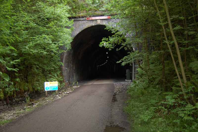
Monsal Trail
Jim Dixon, chief executive of the Peak District National Park, said: "It is our ambition that, by being on Google Street View, more people will enjoy the wonders of this protected and special landscape. Once people see it, I am sure they will be inspired to come and stay for a few days to explore first-hand what they have experienced online. "The national park covers an area of 555 square miles so it was impractical to film every inch for people to view. Instead we have selected some of the highlights. These are the trail areas where we offer ranger-led walks, family activities and cycle hire and bike maintenance, so there are lots of ways for people to enjoy and experience what the national park has to offer."
Emily Clarke from Google said: "We're excited that the Peak District will be using the Street View Trekker so more of us can experience its famous trails and views from wherever we are."
To see the virtual trails using your computer, tablet or browser, go to http://maps.google.co.uk, search for a location such as Monsal Trail and click either the 'Street view' or the 'yellow man' icon, or follow these links.
North Lees view one / view two
Monsal Trail view one / view two